
十日町市 topographic map
Interactive map
Click on the map to display elevation.
About this map
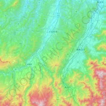
Name: 十日町市 topographic map, elevation, terrain.
Location: 十日町市, 新潟県, 日本 (36.86822 138.52316 37.23728 138.87474)
Average elevation: 519 m
Minimum elevation: 56 m
Maximum elevation: 1,987 m
Other topographic maps
Click on a map to view its topography, its elevation and its terrain.