
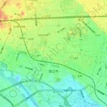
国立市 topographic map
Interactive map
Click on the map to display elevation.
About this map
Name: 国立市 topographic map, elevation, terrain.
Location: 国立市, 東京都, 日本 (35.67064 139.41757 35.70442 139.45961)
Average elevation: 75 m
Minimum elevation: 54 m
Maximum elevation: 102 m
Other topographic maps
Click on a map to view its topography, its elevation and its terrain.