
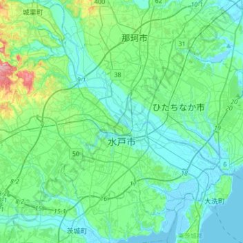
水戸市 topographic map
Interactive map
Click on the map to display elevation.
About this map
Name: 水戸市 topographic map, elevation, terrain.
Location: 水戸市, 茨城県, 日本 (36.30073 140.32173 36.46444 140.58680)
Average elevation: 28 m
Minimum elevation: -4 m
Maximum elevation: 166 m
Other topographic maps
Click on a map to view its topography, its elevation and its terrain.