
豊橋市 topographic map
Interactive map
Click on the map to display elevation.
About this map
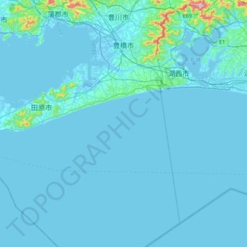
Name: 豊橋市 topographic map, elevation, terrain.
Location: 豊橋市, 愛知県, 中部地方, 日本 (34.34502 137.24527 34.86131 137.53455)
Average elevation: 17 m
Minimum elevation: -5 m
Maximum elevation: 541 m
Other topographic maps
Click on a map to view its topography, its elevation and its terrain.