
樅沢岳 topographic map
Interactive map
Click on the map to display elevation.
About this map
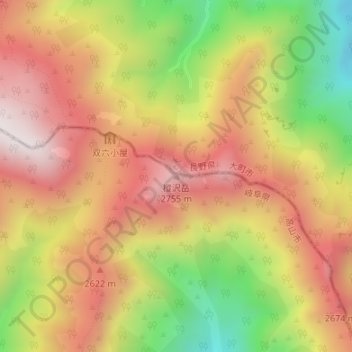
Name: 樅沢岳 topographic map, elevation, terrain.
Location: 樅沢岳, 高山市, 岐阜県, 日本 (36.36652 137.60781 36.36662 137.60791)
Average elevation: 2,445 m
Minimum elevation: 1,974 m
Maximum elevation: 2,809 m
Other topographic maps
Click on a map to view its topography, its elevation and its terrain.