
三ノ峰 topographic map
Interactive map
Click on the map to display elevation.
About this map
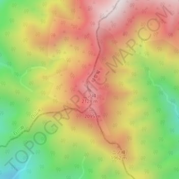
Name: 三ノ峰 topographic map, elevation, terrain.
Location: 三ノ峰, 高山市, 岐阜県, 日本 (36.08886 136.75438 36.08896 136.75448)
Average elevation: 1,777 m
Minimum elevation: 1,261 m
Maximum elevation: 2,230 m
Other topographic maps
Click on a map to view its topography, its elevation and its terrain.