
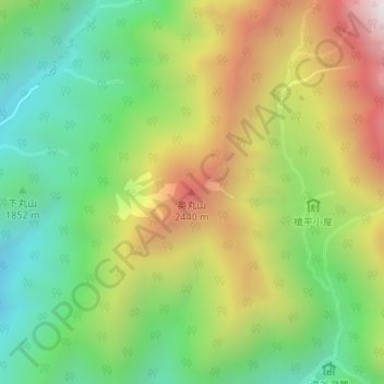
奥丸山 topographic map
Interactive map
Click on the map to display elevation.
About this map
Name: 奥丸山 topographic map, elevation, terrain.
Location: 奥丸山, 高山市, 岐阜県, 日本 (36.32407 137.61926 36.32417 137.61936)
Average elevation: 2,017 m
Minimum elevation: 1,559 m
Maximum elevation: 2,665 m
奥丸山 (おくまるやま) は、中部山岳国立公園内の飛騨山脈 (北アルプス) にある標高2,439mの山。
Other topographic maps
Click on a map to view its topography, its elevation and its terrain.