
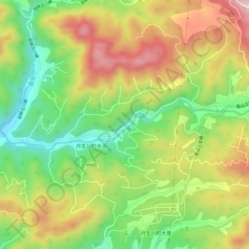
荒城川 topographic map
Interactive map
Click on the map to display elevation.
About this map
Name: 荒城川 topographic map, elevation, terrain.
Location: 荒城川, 高山市, 岐阜県, 日本 (36.20284 137.31036 36.21013 137.35583)
Average elevation: 800 m
Minimum elevation: 643 m
Maximum elevation: 981 m
Other topographic maps
Click on a map to view its topography, its elevation and its terrain.