
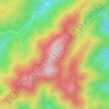
川上岳 topographic map
Interactive map
Click on the map to display elevation.
About this map
Name: 川上岳 topographic map, elevation, terrain.
Location: 川上岳, 高山市, 岐阜県, 日本 (36.00815 137.14953 36.00825 137.14963)
Average elevation: 1,354 m
Minimum elevation: 1,064 m
Maximum elevation: 1,615 m
川上岳(かおれだけ)は、岐阜県下呂市と高山市にまたがる標高1,625mの山。日本三百名山に選定されている。
Other topographic maps
Click on a map to view its topography, its elevation and its terrain.