
五味原湖 topographic map
Interactive map
Click on the map to display elevation.
About this map
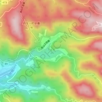
Name: 五味原湖 topographic map, elevation, terrain.
Location: 五味原湖, 高山市, 岐阜県, 日本 (36.21571 137.37000 36.22025 137.38095)
Average elevation: 975 m
Minimum elevation: 764 m
Maximum elevation: 1,158 m
Other topographic maps
Click on a map to view its topography, its elevation and its terrain.