
高根乗鞍湖 topographic map
Interactive map
Click on the map to display elevation.
About this map
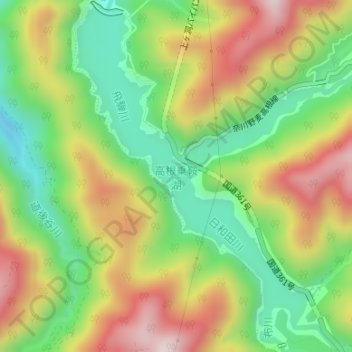
Name: 高根乗鞍湖 topographic map, elevation, terrain.
Location: 高根乗鞍湖, 高山市, 岐阜県, 日本 (36.00623 137.49013 36.03253 137.51563)
Average elevation: 1,199 m
Minimum elevation: 982 m
Maximum elevation: 1,466 m
Other topographic maps
Click on a map to view its topography, its elevation and its terrain.