
鈴鹿市 topographic map
Interactive map
Click on the map to display elevation.
About this map
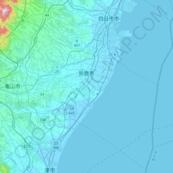
Name: 鈴鹿市 topographic map, elevation, terrain.
Location: 鈴鹿市, 三重県, 日本 (34.73373 136.39519 34.98811 136.71547)
Average elevation: 34 m
Minimum elevation: -6 m
Maximum elevation: 890 m
Other topographic maps
Click on a map to view its topography, its elevation and its terrain.