
調布市 topographic map
Interactive map
Click on the map to display elevation.
About this map
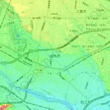
Name: 調布市 topographic map, elevation, terrain.
Location: 調布市, 東京都, 日本 (35.63266 139.51703 35.68816 139.59329)
Average elevation: 44 m
Minimum elevation: 15 m
Maximum elevation: 105 m
Other topographic maps
Click on a map to view its topography, its elevation and its terrain.