
秩父市 topographic map
Interactive map
Click on the map to display elevation.
About this map
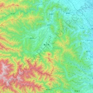
Name: 秩父市 topographic map, elevation, terrain.
Location: 秩父市, 埼玉県, 日本 (35.83978 138.71136 36.12590 139.17620)
Average elevation: 556 m
Minimum elevation: 41 m
Maximum elevation: 2,044 m
Other topographic maps
Click on a map to view its topography, its elevation and its terrain.