
西区 topographic map
Interactive map
Click on the map to display elevation.
About this map
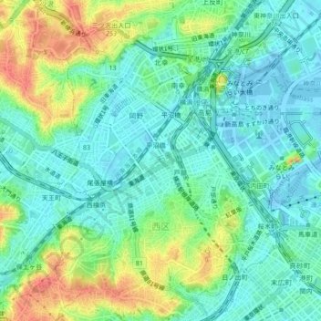
Name: 西区 topographic map, elevation, terrain.
Location: 西区, 横浜市, 神奈川県, 231-0017, 日本 (35.44206 139.60318 35.47198 139.64524)
Average elevation: 19 m
Minimum elevation: -17 m
Maximum elevation: 56 m
Other topographic maps
Click on a map to view its topography, its elevation and its terrain.