
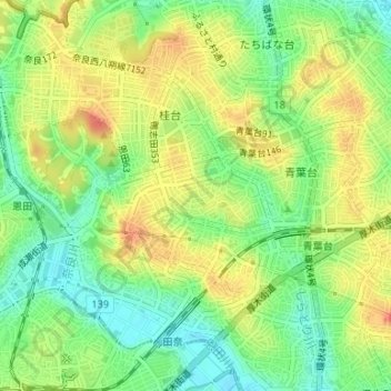
松風台 topographic map
Interactive map
Click on the map to display elevation.
About this map
Name: 松風台 topographic map, elevation, terrain.
Location: 松風台, 青葉区, 横浜市, 神奈川県, 231-0017, 日本 (35.54245 139.49951 35.54817 139.51331)
Average elevation: 46 m
Minimum elevation: 20 m
Maximum elevation: 72 m
Other topographic maps
Click on a map to view its topography, its elevation and its terrain.