
栄区 topographic map
Interactive map
Click on the map to display elevation.
About this map
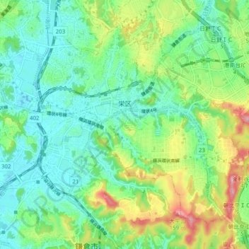
Name: 栄区 topographic map, elevation, terrain.
Location: 栄区, 横浜市, 神奈川県, 231-0017, 日本 (35.33489 139.51620 35.38487 139.59289)
Average elevation: 49 m
Minimum elevation: 5 m
Maximum elevation: 149 m
Other topographic maps
Click on a map to view its topography, its elevation and its terrain.