
あざみ野南四丁目 topographic map
Interactive map
Click on the map to display elevation.
About this map
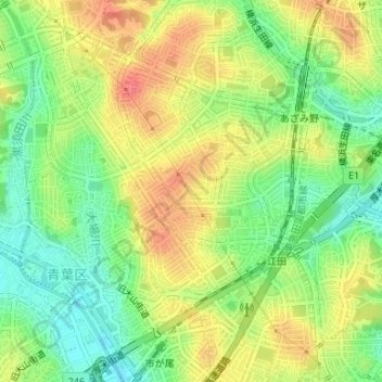
Name: あざみ野南四丁目 topographic map, elevation, terrain.
Location: あざみ野南四丁目, あざみ野南, 青葉区, 横浜市, 神奈川県, 225-0012, 日本 (35.56006 139.54140 35.56492 139.54646)
Average elevation: 44 m
Minimum elevation: 14 m
Maximum elevation: 75 m
Other topographic maps
Click on a map to view its topography, its elevation and its terrain.