
大久保 topographic map
Interactive map
Click on the map to display elevation.
About this map
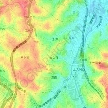
Name: 大久保 topographic map, elevation, terrain.
Location: 大久保, 港南区, 横浜市, 神奈川県, 231-0017, 日本 (35.40596 139.58135 35.41291 139.59595)
Average elevation: 39 m
Minimum elevation: 3 m
Maximum elevation: 79 m
Other topographic maps
Click on a map to view its topography, its elevation and its terrain.