
万騎が原 topographic map
Interactive map
Click on the map to display elevation.
About this map
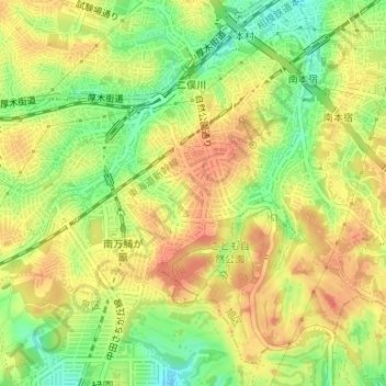
Name: 万騎が原 topographic map, elevation, terrain.
Location: 万騎が原, 旭区, 横浜市, 神奈川県, 231-0017, 日本 (35.45139 139.52684 35.45833 139.53834)
Average elevation: 70 m
Minimum elevation: 41 m
Maximum elevation: 90 m
Other topographic maps
Click on a map to view its topography, its elevation and its terrain.