
緑区 topographic map
Interactive map
Click on the map to display elevation.
About this map
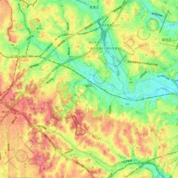
Name: 緑区 topographic map, elevation, terrain.
Location: 緑区, 横浜市, 神奈川県, 231-0017, 日本 (35.49203 139.47705 35.53885 139.58694)
Average elevation: 50 m
Minimum elevation: 2 m
Maximum elevation: 98 m
Other topographic maps
Click on a map to view its topography, its elevation and its terrain.