
ペケレット湖 topographic map
Interactive map
Click on the map to display elevation.
About this map
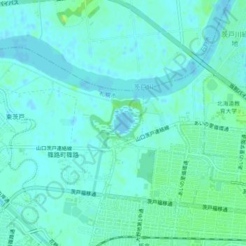
Name: ペケレット湖 topographic map, elevation, terrain.
Location: ペケレット湖, 北区, 札幌市, 石狩振興局, 北海道, 日本 (43.16671 141.37634 43.16930 141.38040)
Average elevation: 4 m
Minimum elevation: -4 m
Maximum elevation: 13 m
Other topographic maps
Click on a map to view its topography, its elevation and its terrain.