
丘珠町 topographic map
Interactive map
Click on the map to display elevation.
About this map
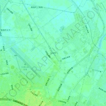
Name: 丘珠町 topographic map, elevation, terrain.
Location: 丘珠町, 東区, 札幌市, 石狩振興局, 北海道, 日本 (43.10366 141.37651 43.13778 141.42694)
Average elevation: 6 m
Minimum elevation: 1 m
Maximum elevation: 12 m
Other topographic maps
Click on a map to view its topography, its elevation and its terrain.