
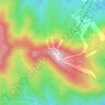
手稲山 topographic map
Interactive map
Click on the map to display elevation.
About this map
Name: 手稲山 topographic map, elevation, terrain.
Location: 手稲山, 札幌市, 石狩振興局, 北海道, 日本 (43.07656 141.19314 43.07666 141.19324)
Average elevation: 707 m
Minimum elevation: 464 m
Maximum elevation: 1,014 m
Other topographic maps
Click on a map to view its topography, its elevation and its terrain.