
空沼岳 topographic map
Interactive map
Click on the map to display elevation.
About this map
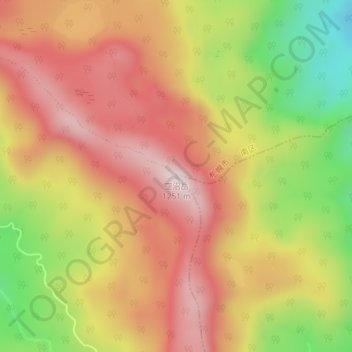
Name: 空沼岳 topographic map, elevation, terrain.
Location: 空沼岳, 札幌市, 石狩振興局, 北海道, 日本 (42.86493 141.25357 42.86503 141.25367)
Average elevation: 1,012 m
Minimum elevation: 724 m
Maximum elevation: 1,222 m
空沼岳(そらぬまだけ)は、北海道石狩管内の札幌市にある標高約1,251mの山である。山頂付近は支笏洞爺国立公園の第1種特別地域に指定されている。
Other topographic maps
Click on a map to view its topography, its elevation and its terrain.