
藻岩山 topographic map
Interactive map
Click on the map to display elevation.
About this map
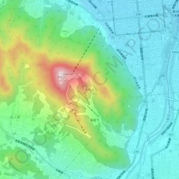
Name: 藻岩山 topographic map, elevation, terrain.
Location: 藻岩山, 南区, 札幌市, 石狩振興局, 北海道, 日本 (43.00211 141.29498 43.03581 141.34607)
Average elevation: 161 m
Minimum elevation: 30 m
Maximum elevation: 523 m
Other topographic maps
Click on a map to view its topography, its elevation and its terrain.