
平岸1条1 topographic map
Interactive map
Click on the map to display elevation.
About this map
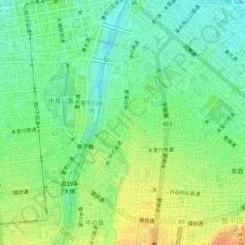
Name: 平岸1条1 topographic map, elevation, terrain.
Location: 平岸1条1, 豊平区, 札幌市, 石狩振興局, 北海道, 日本 (43.04147 141.36057 43.04256 141.36630)
Average elevation: 36 m
Minimum elevation: 18 m
Maximum elevation: 61 m
Other topographic maps
Click on a map to view its topography, its elevation and its terrain.