
北ノ沢 topographic map
Interactive map
Click on the map to display elevation.
About this map
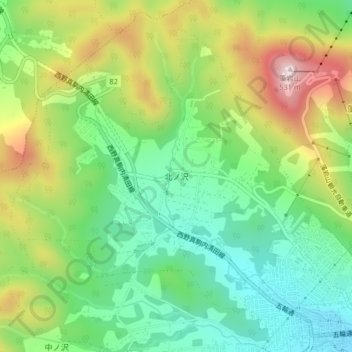
Name: 北ノ沢 topographic map, elevation, terrain.
Location: 北ノ沢, 南区, 札幌市, 石狩振興局, 北海道, 005-0832, 日本 (43.00064 141.29193 43.02585 141.33294)
Average elevation: 251 m
Minimum elevation: 85 m
Maximum elevation: 523 m
Other topographic maps
Click on a map to view its topography, its elevation and its terrain.