
西茨戸 topographic map
Interactive map
Click on the map to display elevation.
About this map
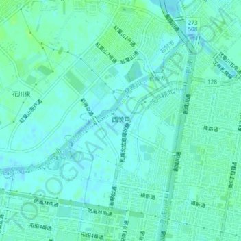
Name: 西茨戸 topographic map, elevation, terrain.
Location: 西茨戸, 北区, 札幌市, 石狩振興局, 北海道, 日本 (43.14720 141.33373 43.16095 141.35003)
Average elevation: 4 m
Minimum elevation: -1 m
Maximum elevation: 9 m
Other topographic maps
Click on a map to view its topography, its elevation and its terrain.