
石山東ひだまり公園 topographic map
Interactive map
Click on the map to display elevation.
About this map
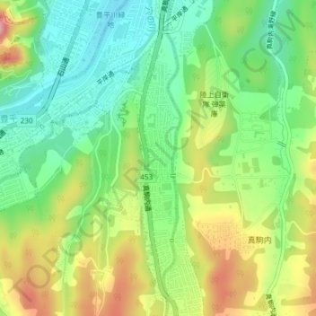
Name: 石山東ひだまり公園 topographic map, elevation, terrain.
Location: 石山東ひだまり公園, 石山東, 南区, 札幌市, 石狩振興局, 北海道, 日本 (42.96342 141.34448 42.96354 141.34470)
Average elevation: 148 m
Minimum elevation: 87 m
Maximum elevation: 240 m
Other topographic maps
Click on a map to view its topography, its elevation and its terrain.