
墨田区 topographic map
Interactive map
Click on the map to display elevation.
About this map
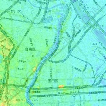
Name: 墨田区 topographic map, elevation, terrain.
Location: 墨田区, 東京都, 日本 (35.68670 139.78873 35.74351 139.84284)
Average elevation: 8 m
Minimum elevation: -3 m
Maximum elevation: 37 m
Other topographic maps
Click on a map to view its topography, its elevation and its terrain.