
大垣市 topographic map
Interactive map
Click on the map to display elevation.
About this map
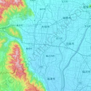
Name: 大垣市 topographic map, elevation, terrain.
Location: 大垣市, 岐阜県, 中部地方, 日本 (35.21673 136.37727 35.41087 136.69059)
Average elevation: 102 m
Minimum elevation: -5 m
Maximum elevation: 892 m
Other topographic maps
Click on a map to view its topography, its elevation and its terrain.