
津山市 topographic map
Interactive map
Click on the map to display elevation.
About this map
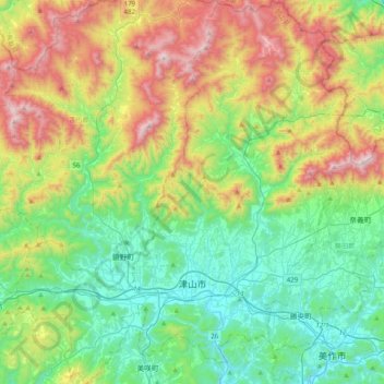
Name: 津山市 topographic map, elevation, terrain.
Location: 津山市, 岡山県, 日本 (34.98355 133.82108 35.30741 134.16889)
Average elevation: 442 m
Minimum elevation: 68 m
Maximum elevation: 1,230 m
Other topographic maps
Click on a map to view its topography, its elevation and its terrain.