
足立区 topographic map
Interactive map
Click on the map to display elevation.
About this map
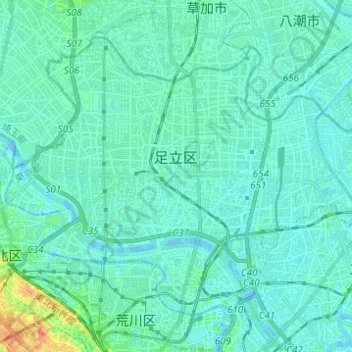
Name: 足立区 topographic map, elevation, terrain.
Location: 足立区, 東京都, 日本 (35.73866 139.73569 35.81748 139.85870)
Average elevation: 6 m
Minimum elevation: -5 m
Maximum elevation: 38 m
Other topographic maps
Click on a map to view its topography, its elevation and its terrain.