
江東区 topographic map
Interactive map
Click on the map to display elevation.
About this map
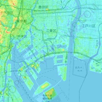
Name: 江東区 topographic map, elevation, terrain.
Location: 江東区, 東京都, 日本 (35.58865 139.76672 35.70809 139.84855)
Average elevation: 5 m
Minimum elevation: -10 m
Maximum elevation: 52 m
Other topographic maps
Click on a map to view its topography, its elevation and its terrain.