
刈谷市 topographic map
Interactive map
Click on the map to display elevation.
About this map
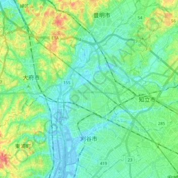
Name: 刈谷市 topographic map, elevation, terrain.
Location: 刈谷市, 愛知県, 中部地方, 日本 (34.94739 136.97880 35.06916 137.06878)
Average elevation: 18 m
Minimum elevation: -6 m
Maximum elevation: 68 m
Other topographic maps
Click on a map to view its topography, its elevation and its terrain.