
岩子島 topographic map
Interactive map
Click on the map to display elevation.
About this map
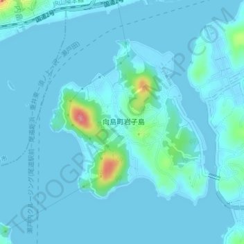
Name: 岩子島 topographic map, elevation, terrain.
Location: 岩子島, 尾道市, 広島県, 722-0072, 日本 (34.37295 133.15158 34.39146 133.17319)
Average elevation: 8 m
Minimum elevation: -1 m
Maximum elevation: 96 m
Other topographic maps
Click on a map to view its topography, its elevation and its terrain.