
一里塚 topographic map
Interactive map
Click on the map to display elevation.
About this map
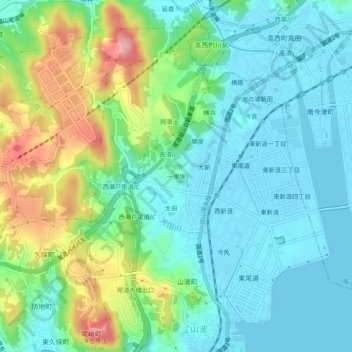
Name: 一里塚 topographic map, elevation, terrain.
Location: 一里塚, 尾道市, 広島県, 722-8503, 日本 (34.41281 133.20444 34.45281 133.24444)
Average elevation: 46 m
Minimum elevation: -1 m
Maximum elevation: 166 m
Other topographic maps
Click on a map to view its topography, its elevation and its terrain.