
向島 topographic map
Interactive map
Click on the map to display elevation.
About this map
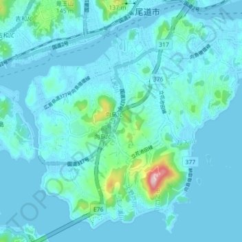
Name: 向島 topographic map, elevation, terrain.
Location: 向島, 尾道市, 広島県, 日本 (34.35622 133.17009 34.40935 133.23942)
Average elevation: 24 m
Minimum elevation: -1 m
Maximum elevation: 259 m
Other topographic maps
Click on a map to view its topography, its elevation and its terrain.