
東町 topographic map
Interactive map
Click on the map to display elevation.
About this map
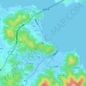
Name: 東町 topographic map, elevation, terrain.
Location: 東町, 尾道市, 広島県, 722-2102, 日本 (34.32061 133.15656 34.36061 133.19656)
Average elevation: 39 m
Minimum elevation: -2 m
Maximum elevation: 296 m