
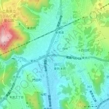
栗原川 topographic map
Interactive map
Click on the map to display elevation.
About this map
Name: 栗原川 topographic map, elevation, terrain.
Location: 栗原川, 向峠, 栗原, 尾道市, 広島県, 722-0024, 日本 (34.42347 133.18880 34.42357 133.18884)
Average elevation: 72 m
Minimum elevation: 4 m
Maximum elevation: 250 m
Other topographic maps
Click on a map to view its topography, its elevation and its terrain.