
大東市 topographic map
Interactive map
Click on the map to display elevation.
About this map
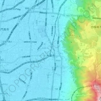
Name: 大東市 topographic map, elevation, terrain.
Location: 大東市, 大阪府, 日本 (34.69571 135.59047 34.73222 135.67539)
Average elevation: 89 m
Minimum elevation: -1 m
Maximum elevation: 626 m
Other topographic maps
Click on a map to view its topography, its elevation and its terrain.