
阿倍野区 topographic map
Interactive map
Click on the map to display elevation.
About this map
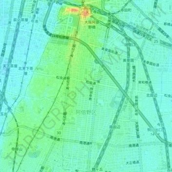
Name: 阿倍野区 topographic map, elevation, terrain.
Location: 阿倍野区, 大阪市, 大阪府, 日本 (34.61614 135.49582 34.64852 135.52948)
Average elevation: 12 m
Minimum elevation: 3 m
Maximum elevation: 35 m
Other topographic maps
Click on a map to view its topography, its elevation and its terrain.