
天王寺区 topographic map
Interactive map
Click on the map to display elevation.
About this map
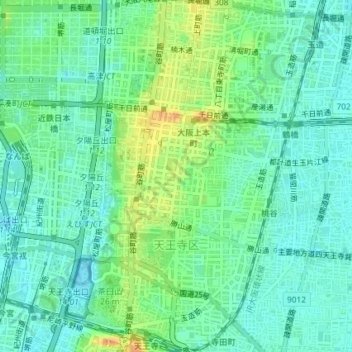
Name: 天王寺区 topographic map, elevation, terrain.
Location: 天王寺区, 大阪市, 大阪府, 日本 (34.64573 135.50651 34.67580 135.53325)
Average elevation: 14 m
Minimum elevation: 3 m
Maximum elevation: 35 m
Other topographic maps
Click on a map to view its topography, its elevation and its terrain.