
東成区 topographic map
Interactive map
Click on the map to display elevation.
About this map
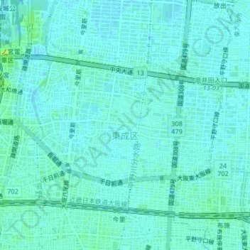
Name: 東成区 topographic map, elevation, terrain.
Location: 東成区, 大阪市, 大阪府, 日本 (34.66433 135.53033 34.68367 135.56331)
Average elevation: 6 m
Minimum elevation: 3 m
Maximum elevation: 15 m
Other topographic maps
Click on a map to view its topography, its elevation and its terrain.