
下京区 topographic map
Interactive map
Click on the map to display elevation.
About this map
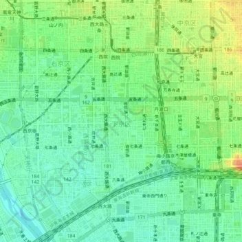
Name: 下京区 topographic map, elevation, terrain.
Location: 下京区, 京都市, 京都府, 日本 (34.98147 135.72729 35.00429 135.77157)
Average elevation: 30 m
Minimum elevation: 14 m
Maximum elevation: 56 m
Other topographic maps
Click on a map to view its topography, its elevation and its terrain.