
七観音町 topographic map
Interactive map
Click on the map to display elevation.
About this map
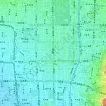
Name: 七観音町 topographic map, elevation, terrain.
Location: 七観音町, 中京区, 京都市, 京都府, 〒604-8152, 日本 (34.98673 135.73953 35.02673 135.77953)
Average elevation: 48 m
Minimum elevation: 25 m
Maximum elevation: 157 m