
山科区 topographic map
Interactive map
Click on the map to display elevation.
About this map
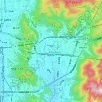
Name: 山科区 topographic map, elevation, terrain.
Location: 山科区, 京都市, 京都府, 日本 (34.95035 135.78661 35.01661 135.86341)
Average elevation: 137 m
Minimum elevation: 20 m
Maximum elevation: 534 m
Other topographic maps
Click on a map to view its topography, its elevation and its terrain.