
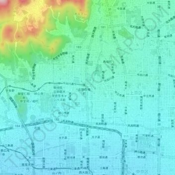
北野下白梅町 topographic map
Interactive map
Click on the map to display elevation.
About this map
Name: 北野下白梅町 topographic map, elevation, terrain.
Location: 北野下白梅町, 北区, 京都市, 京都府, 6028374, 日本 (35.00686 135.71180 35.04686 135.75180)
Average elevation: 77 m
Minimum elevation: 31 m
Maximum elevation: 289 m