
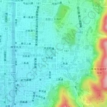
栖鳳池 topographic map
Interactive map
Click on the map to display elevation.
About this map
Name: 栖鳳池 topographic map, elevation, terrain.
Location: 栖鳳池, 岡崎入江町, 左京区, 京都市, 京都府, 日本 (35.01534 135.78344 35.01656 135.78436)
Average elevation: 78 m
Minimum elevation: 39 m
Maximum elevation: 227 m